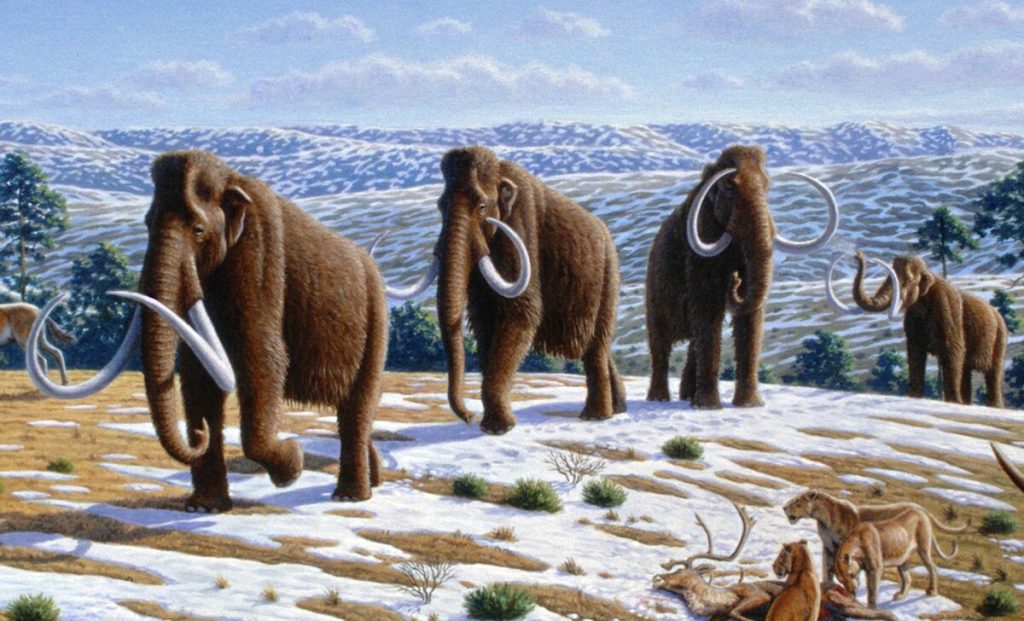
Pleistocene megafauna - Mauricio Antón, CC BY 2.5 https://creativecommons.org/licenses/by/2.5, via Wikimedia Commons
PART FIVE - The Changing World
Welcome back to our journey through time, exploring the remarkable creatures and dramatic environmental shifts of the Pleistocene epoch - often called the Ice Age. In this instalment of our series, we delve into the world of the woolly mammoth and the profound changes that shaped life on Earth during this period.
The Woolly Mammoth: A Giant of the Past
The woolly mammoth, a colossal and shaggy behemoth, is an iconic emblem of the Pleistocene epoch. This majestic creature roamed the Earth for millennia, leaving an indelible mark on our planet's history. Belonging to the mammoth family, it was one of the last survivors in a line of mammoth species.
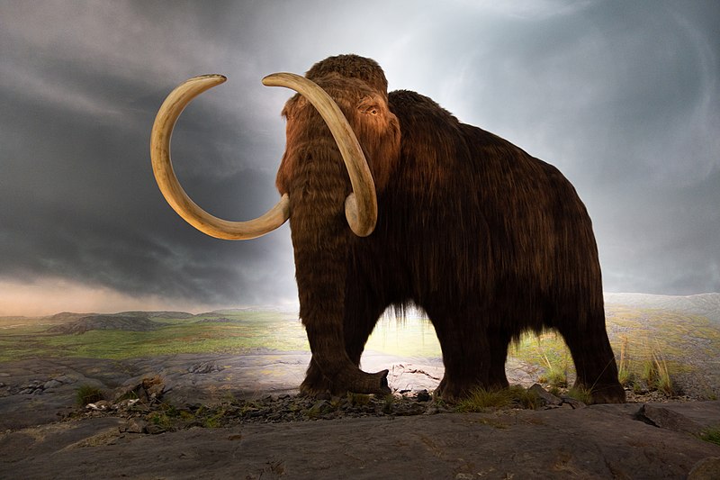
Thomas Quine, CC BY 2.0 https://creativecommons.org/licenses/by/2.0, via Wikimedia Commons
When did the Woolly Mammoth Exist?
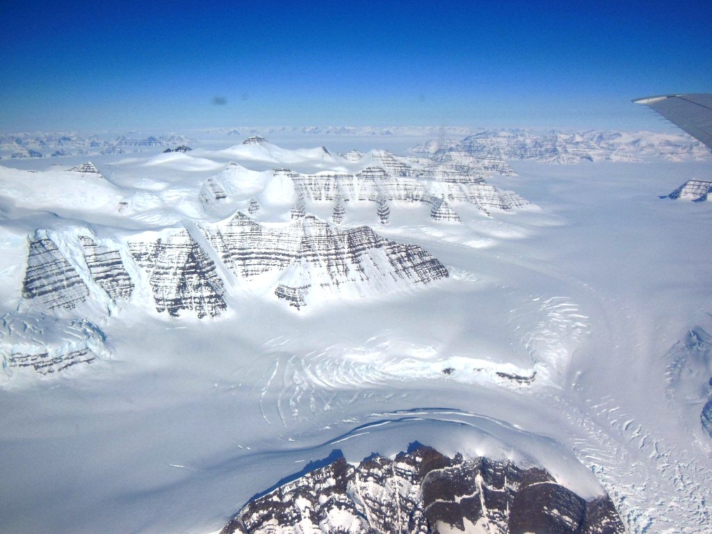
The woolly mammoth's reign spanned from around 2.6 million years ago until its eventual extinction roughly 12,000 years ago, marking the transition into the Holocene epoch. During this time, the world was vastly different than it is today.
Arrival of Modern Humans
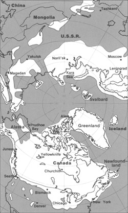
A pivotal historical moment occurred around 15,000 to 17,000 years ago as the first modern humans set foot in North America. Their arrival signalled a significant change in the dynamics of the continent, and they reached North America by two possible routes: either crossing the Bering land bridge from Asia or navigating the seas from Europe.
The Impact of Human Arrival
As the climate warmed and human populations flourished, the woolly mammoth faced a grim fate. It succumbed to extinction in the Americas and Europe approximately 12,000 years ago, marking the end of an era for this magnificent species. The reasons for their decline and eventual disappearance are still debated among scientists. However, the arrival of modern humans played a substantial role.
A World of Megafauna and Adaptation
The Pleistocene epoch was a time of giants. Megafauna, including mammoths, woolly rhinoceroses, and sabre-toothed tigers, roamed the vast, icy plains. These colossal creatures ruled the landscape, captivating the imagination with their sheer size and power.
Steveoc 86, CC BY-SA 4.0 <https://creativecommons.org/licenses/by-sa/4.0>, via Wikimedia Commons
Adaptation or Migration
However, the Pleistocene was not just about megafauna. Plants and animals alike had to adapt to the harsh, frozen conditions or embark on daring migrations to survive. This was a time of immense change, and the fabric of life on Earth constantly evolved.
Emergence of Human Societies
Amidst these challenges, human societies also began to emerge and evolve. They developed innovative ways to cope with the unforgiving environmental shifts, leaving behind a rich tapestry of archaeological evidence that sheds light on their resourcefulness and resilience.
As we continue our journey through the Pleistocene epoch, we will explore more about the woolly mammoth's life and its role in the ever-changing world of this fascinating era. Stay tuned for the next chapter in our adventure through time, where we will uncover more past secrets.
[Stay connected for more exciting discoveries from the Pleistocene epoch in our upcoming chapters.]


